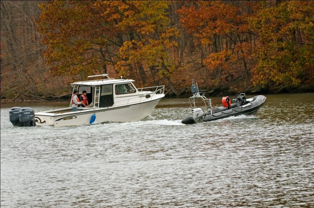
Virginia Tech Unmanned Surface Vehicle

The Virginia Tech Unmanned Surface Vehicle (USV) is based on a 16' rigid hull inflatable boat. It was developed to support experimental testing of new planning, guidance, and control algorithms that enable a USV to travel fast over large areas in complex and unmapped riverine system.
The VT USV utilizes a laser line-scanner to identify and map objects in the environment that are not water. It then creates a map and computes both long-range plans and short-term dynamically feasible trajectories. By combining global and local information in a clever way, we ensure that a sequence of dynamically feasible short-term trajectories converges to a globally valid solution.
Unmanned Surface Vehicle


